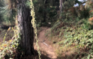
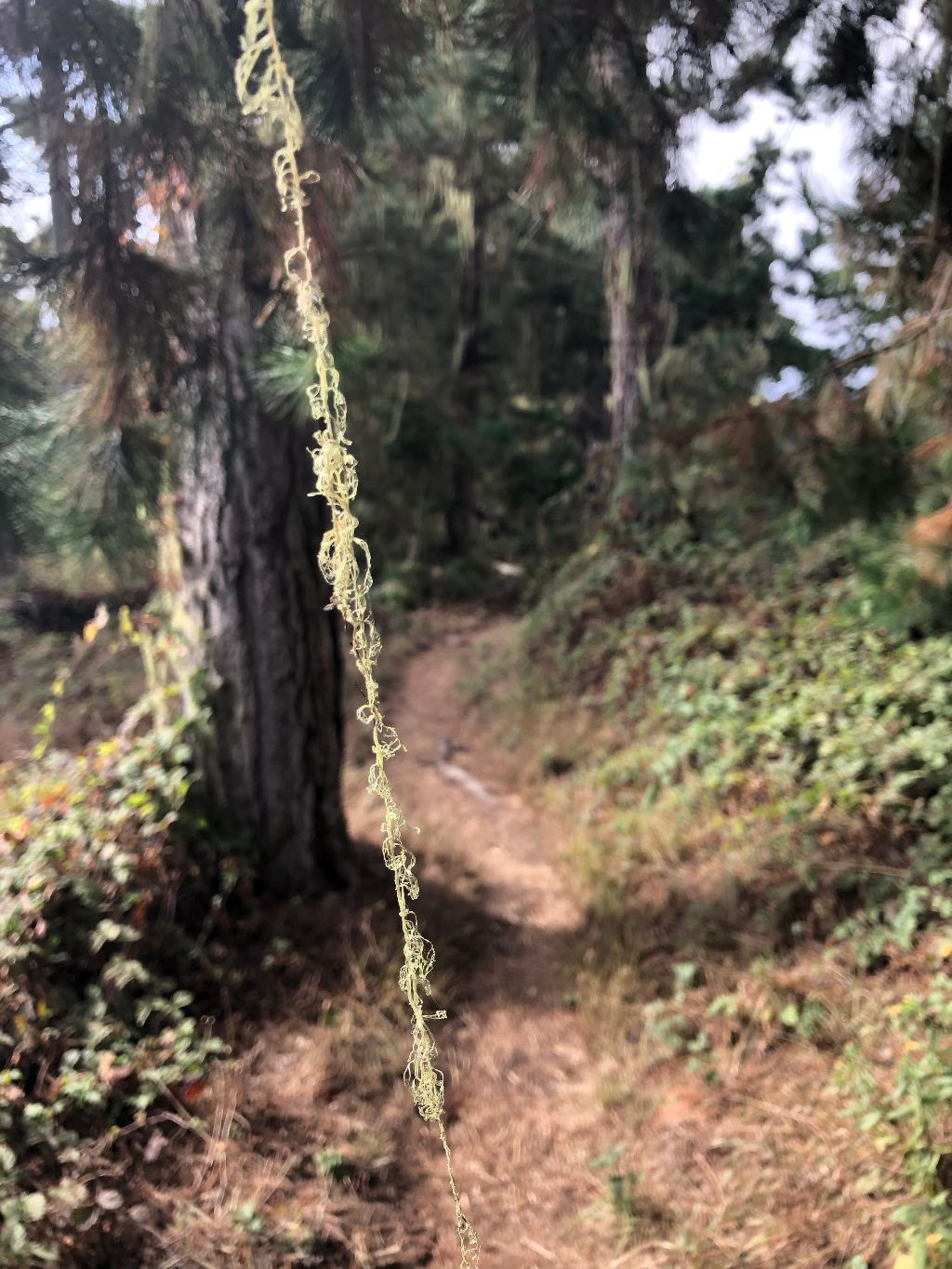
Whalers Knoll Trail
Three trails lead to the Knoll. One from the entrance road, and two from the North Shore Trail. The longest trail over this hill is 0.5 mile. Elevation gain: 180 feet. Not suitable for persons with limited mobility. Lace lichen strands on Whalers Knoll trail. Photo credit: Don Koch. Here is a chance to get your blood pumping as you ascend one of the steep trails through the pine forest to the top of Whaler’s Knoll. Watch your footing along the way, but stop occasionally to enjoy the peeks of ocean through the pine trees. This is a [...]
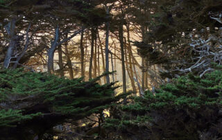
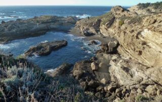
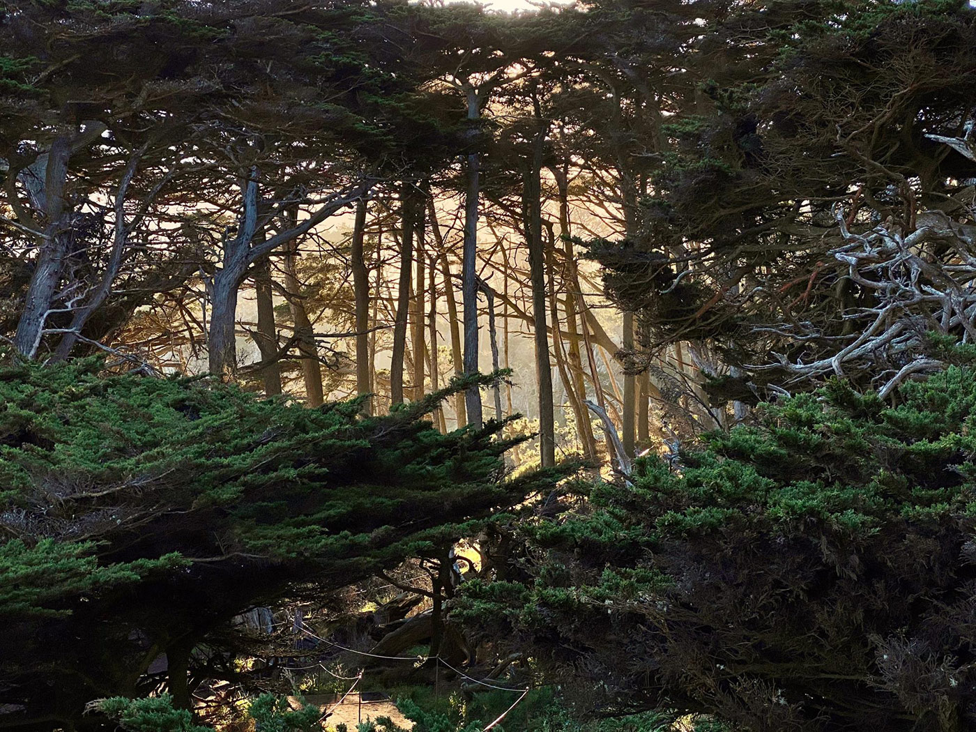
North Shore Trail
Between Whalers Cove and Sea Lion Point parking area; 1.4 miles. A challenging walk through pine forest with open views of coves below. Recommended only for strong walkers. Much of this trail requires walking over rocky ground, tree roots, or stairs. However, the trail from the Sea Lion Point parking lot to the Old Veteran Cypress is wheelchair accessible. North Shore trail. Photo credit: Don Blohowiak. This trail is well worth the effort for hearty walkers with strong legs. Exposed to prevailing northwesterly winds and seas, this rugged headland of sheer-walled coves and changing plant communities offers surprises [...]
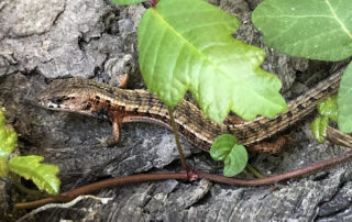
Lace Lichen Trail
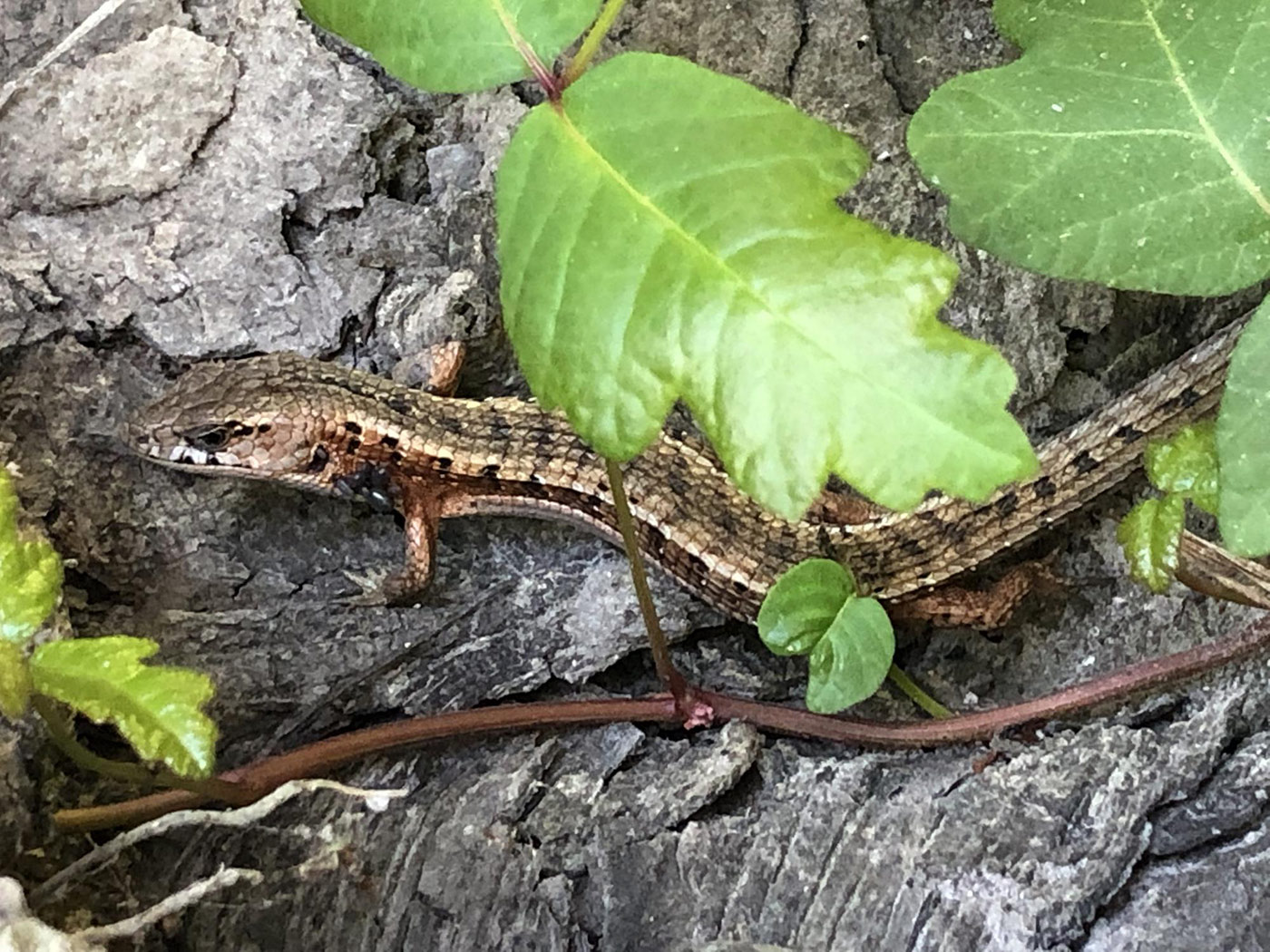
This 0.5 mile trail parallels main entrance road coastward from entrance station -- a pleasant and safer alternative to walking that road. It also connects with the Pine Ridge Trail and with the upper end of Mound Meadow Trail, and, across the road, with the trail up to Whalers Knoll. Accessibility: Flat, mostly easy walking, but has a few sections with roots that would impede wheelchairs. Does not meet ADA standards. lichen on a live oak in Point Lobos ceanothus (top) and amanita (bottom) Lace Lichen Trail is named for the gray-green lichen (called “old man’s [...]
Pine Ridge Trail
0.7 mile between the Lace Lichen Trail and the South Plateau Trail, this trail crosses the Mound Meadow Trail. Provides access to/from the Piney Woods parking and picnic area. Accessibility: does not meet ADA standards, but is generally level and easy to walk. Pine Ridge Trail. Photo credit: Fred Brown. This is one of the interior trails at the Reserve, offering solitude and quiet - although there are occasional views to the sea, the walker is usually immersed in deep forest. Monterey pine is dominant here. These trees have adapted to fire, and on particularly hot autumn days, [...]
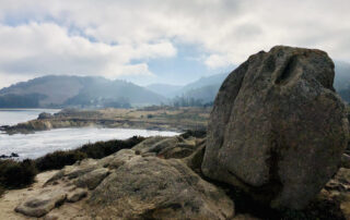
Granite Point Trail
From Whalers Cabin to Granite Point and back; through meadow and woods to panoramic view. 1.3 miles, 60 minutes. This trail is fully accessible to the Pit, and beyond: to a point from which Moss Cove is visible. Moss Cove in Point Lobos The Granite Point Trail begins near the Whalers Cabin, and follows the bluff above Whalers Cove, with Carmelo Meadow to the right. This is a wonderful trail not only for viewing the varied wildlife of the cove, but for enjoying the multitude of wildflowers in spring and summer. Beyond the junction with the Carmelo Meadow [...]
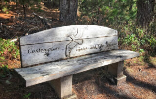
South Plateau Trail
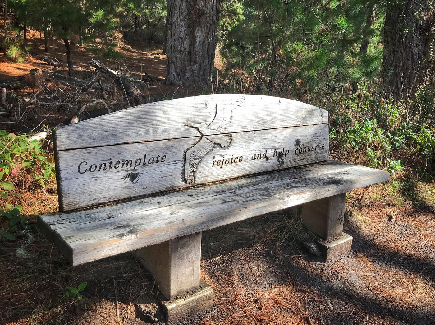
Between the entrance station and the Bird Island Trail above Gibson Beach. Through pine and live oak woodland: 0.7 mile. Accessibility: Not suitable for wheelchairs or strollers. This trail is somewhat hilly and has uneven surfaces. Those with limited mobility wanting a walk to the southern end of the Reserve may prefer the Mound Meadow Trail. Point Lobos State Natural Reserve, reflective bench on South Plateau trail. Photo credit: Janet Beaty. This is the most direct way for walk-ins to get to the south end of the Reserve, though its proximity to Highway 1 does expose the visitor [...]
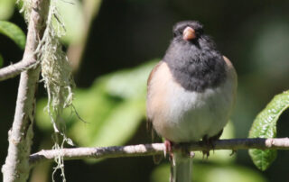
Carmelo Meadow Trail
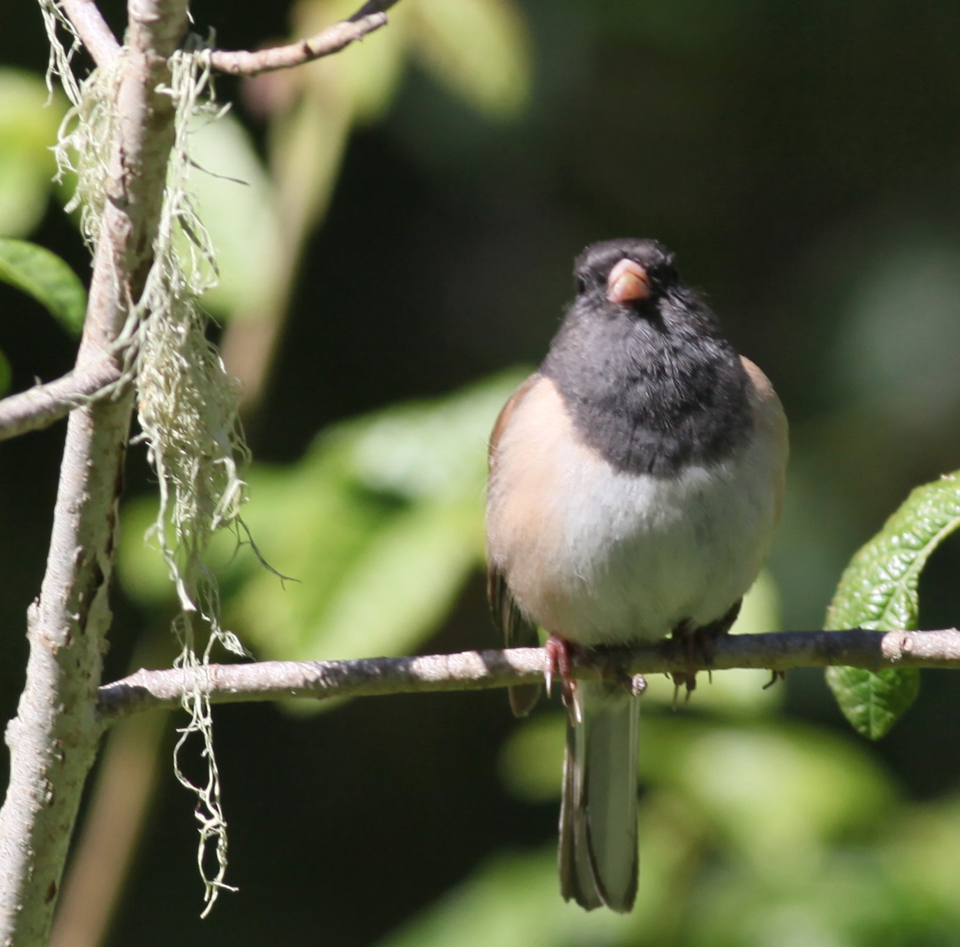
From the entrance station through pine forest to Whalers Cove: 0.2 mile (10 minutes). Trail is fully accessible, and connects to another accessible trail, the Granite Point Trail. Carmelo Meadow mushroom (top) and junco nest (bottom). Photo credit: Paul Reps. The Carmelo Meadow Trail starts just past the entrance station and makes its way through Monterey pine forest to Whalers Cove. Many of the trees in the first section are small and crowded together, and some will be removed to restore the health of the forest. Look here for a wide variety of mushrooms after the winter rains [...]
Sand Hill Trail
This 0.6 Mile ADA-compliant trail, along with the Sea Lion Point Trail, makes a loop around Sand Hill. The northern end of the South Shore Trail intersects with this trail. Sand Hill Trail forms, along with a section of the Sea Lion Point Trail, a loop of stunning ocean views. This trail begins under the cypress trees on the west side of the Sea Lion Point parking lot. Take the left fork and head clockwise: Walk slowly, and enjoy the many colors and forms and scents of the plants that crowd the trail. This is Northern Coastal Scrub, with its [...]
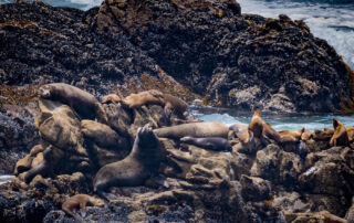
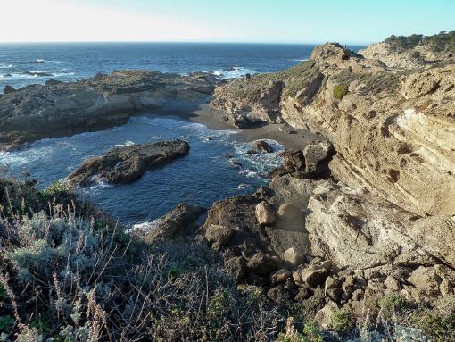
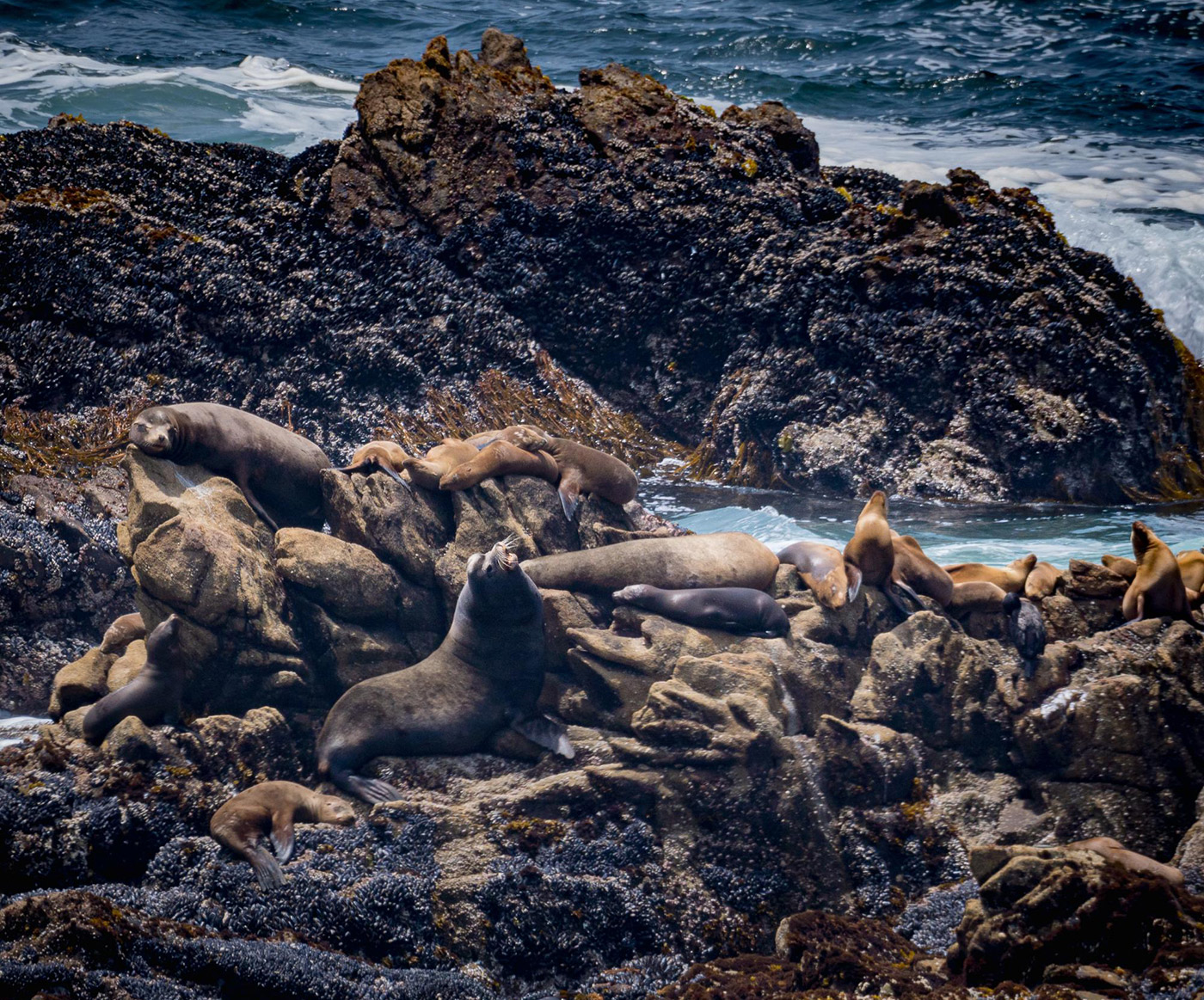
Sea Lion Point Trail
Round trip from Sea Lion Point parking area; 0.6 mile. Includes cove overlooks and offers best view of sea lion rocks offshore. This the upper part of the trail connects with the Sand Hill Trail to make a loop around Sand Hill that is fully accessible. Lower portions of this trail are not accessible. Sea lions at Sea Lion Point trail. Photo credit: Fred Brown. This trail forms, along with a section of the Sand Hill Trail, a fully accessible loop of stunning ocean views. It begins under the cypress trees on the west side of the Sea [...]
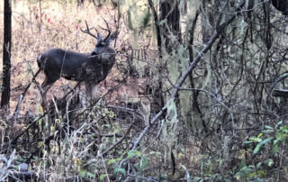
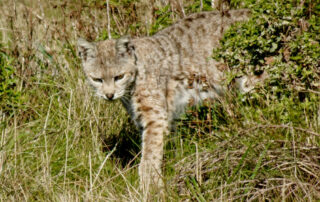
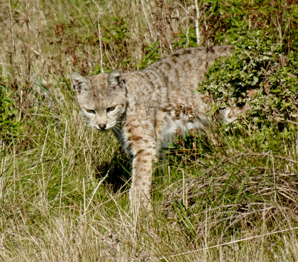
Mound Meadow Trail
0.3 mile from the entrance road (opposite the side road to Whalers Cove) to the South Shore road near Weston Beach. Provides a pleasant shortcut between the entrance kiosk and the south shore. Bobcat on Mound Meadow trail. Photo credit: Peter Fletcher. Mound Meadow Trail starts at the junction of the entrance road with the turn-off to Whalers Cove, and meanders towards the shoreline just south of Weston Beach. At the halfway point there's a junction with the Pine Ridge Trail. This trail has particular appeal to visitors seeking solitude and quiet. The forest of Monterey pines and [...]